
FIELD TRIPS ROCK!
ABOVE Sledding field that trip sixth graders took in winter 2017 with Great Expectations Charter School.
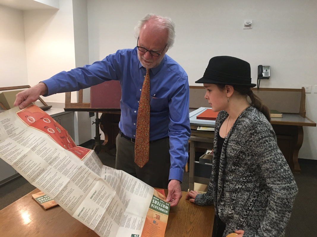
BELOW Twin Cities field trip in March 2017 to the Minnesota History Center where Curator of Books Patrick Coleman conducted a behind-the-scenes tour of archives and prized holdings, such as the oldest book the Center has, printed in 1492. Here he shows 6th Grader Sammie Garrity a modern map of Minnesota writer, and below it, explains to Sammie about how some early maps explorers made of the land and waters that were to become known as Minnesota were deliberately in error to fool empires seeking land and riches!
Scroll down to read Sammie's story!
Minnesota Historical Society
By Sammie Garrity
Grand Marais, Minnesota
Grade 6, Great Expectations Charter School
March 14, 2017
When I went to the Minnesota History Center we saw everything from the oldest book in known existence to maps that have made up rivers and islands! Our tour guide was Pat Coleman. He started out by taking us to the storage room. It had hundreds of thousands of square feet full of every mark that people in Minnesota history had out on paper.
As an avid reader with a love for literature, it was pure amazement for me! We learned that a French mapmaker took a map and claimed that there was a clear way across the continent! It turns out that where he had put a river, the Rocky Mountains were in the way. He didn’t go that far so he did not know that there were mountains right in the way.
Imagine if people called him up and were just like, “Hey dude, where you said that there was a river, a mountain is. Can you clear this up?” I laughed when I imagined it. Another mapmaker invented 3 islands all of which he named after his boss. Benjamin Franklin discovered his lie and said that he would take Isle Royale and the mapmaker would take care of the other three.
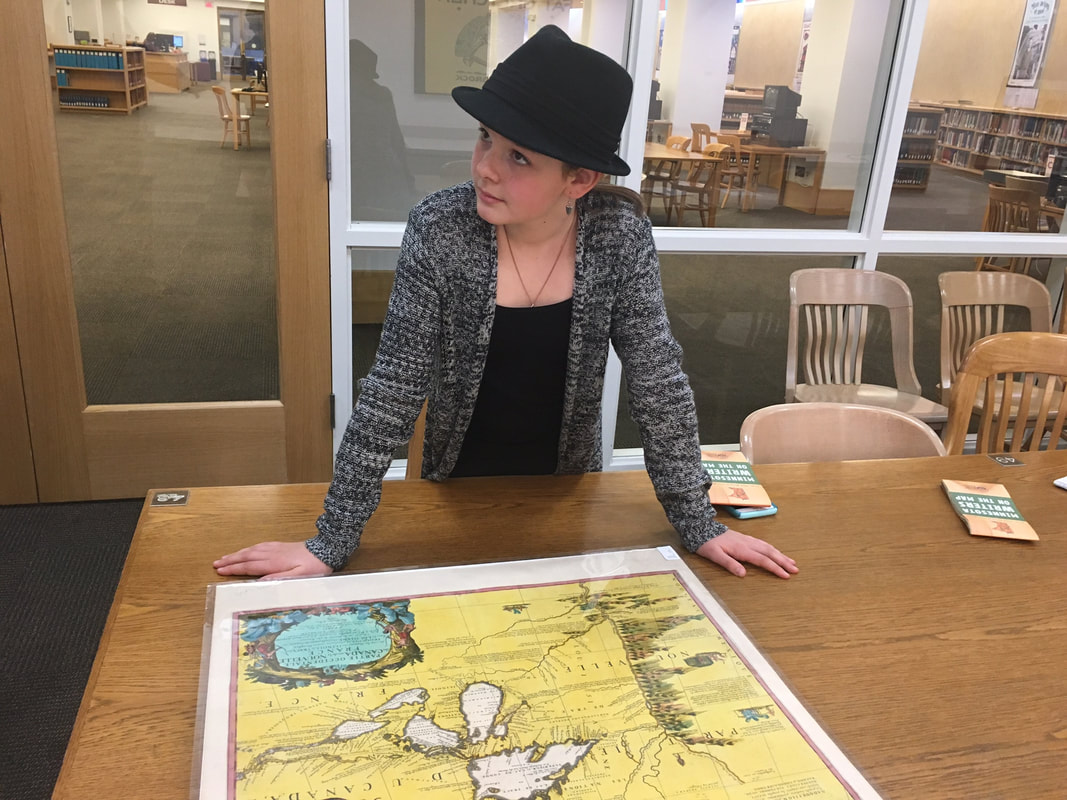
When people found out they were very angry and stopped using that map entirely because it showed up on so many different maps that are preserved perfectly now at the Historical Center. There was even a newspaper that was printed in Missouri. It was in the middle of The Civil War so people had no food and had taken to eating rats. There was almost no resources so they printed it on wallpaper. The enemy would print jabs at the southerners and claim the General Grant is going to take over. They got so mad that their life was pretty much being taken away. As most readers can imagine that must be pretty frustrating.
Another cool thing we did was take a tour of an old model home that had speakers and articles and fun things to do, touch and see everywhere. They had hopscotch and pin drop but also had a narrative speaker tell about her experience in a fire.
We did all sorts of fun activities that are very hands-on. It was an amazing experience and I hope to do it again soon. I believe that everybody should do something like this at least once in their lives as to enrich their knowledge. I know it did mine!
As an avid reader with a love for literature, it was pure amazement for me! We learned that a French mapmaker took a map and claimed that there was a clear way across the continent! It turns out that where he had put a river, the Rocky Mountains were in the way. He didn’t go that far so he did not know that there were mountains right in the way.
Imagine if people called him up and were just like, “Hey dude, where you said that there was a river, a mountain is. Can you clear this up?” I laughed when I imagined it. Another mapmaker invented 3 islands all of which he named after his boss. Benjamin Franklin discovered his lie and said that he would take Isle Royale and the mapmaker would take care of the other three.
When people found out they were very angry and stopped using that map entirely because it showed up on so many different maps that are preserved perfectly now at the Historical Center. There was even a newspaper that was printed in Missouri. It was in the middle of The Civil War so people had no food and had taken to eating rats. There was almost no resources so they printed it on wallpaper. The enemy would print jabs at the southerners and claim the General Grant is going to take over. They got so mad that their life was pretty much being taken away. As most readers can imagine that must be pretty frustrating.
Another cool thing we did was take a tour of an old model home that had speakers and articles and fun things to do, touch and see everywhere. They had hopscotch and pin drop but also had a narrative speaker tell about her experience in a fire.
We did all sorts of fun activities that are very hands-on. It was an amazing experience and I hope to do it again soon. I believe that everybody should do something like this at least once in their lives as to enrich their knowledge. I know it did mine!